LUBBOCK, TX — A Severe Thunderstorm Warning is in effect until 9 p.m. CDT for Lubbock, the far southeastern Texas Panhandle, and the eastern South Plains. As of 2:19 p.m., a severe thunderstorm was located 7 miles southwest of Wolfforth, or 14 miles southwest of Lubbock, moving northeast at 20 mph.
According to the National Weather Service, forecasters expect severe storms to develop this afternoon across parts of Texas Tech University, Downtown Lubbock, Lubbock South Plains Mall, Lubbock Science Spectrum, Reece Center, Wolfforth, and Shallowater.
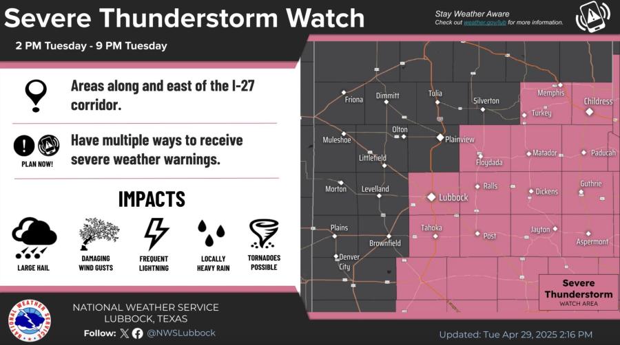
Severe Thunderstorm Watch April 29
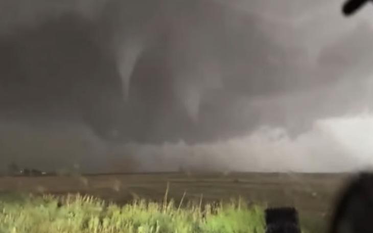
These storms may bring all types of severe weather hazards, including tornadoes, damaging wind gusts up to 80 mph, and very large hail, possibly as large as baseballs. Some tornadoes may be rain-wrapped, making them difficult to spot.
A Flood Watch has also been issued for the Rolling Plains and far southeastern Texas Panhandle beginning at 1 p.m. Tuesday and continuing through 7 a.m. Wednesday. Forecasters warn of the potential for flash flooding this afternoon, with a more significant flooding event expected overnight due to repeated rounds of heavy rainfall.
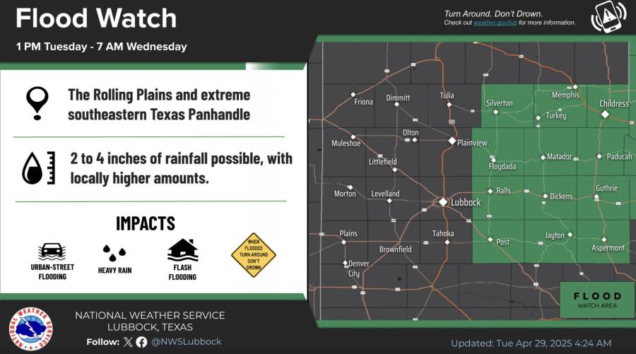
Flood Watch April 29
Overnight, widespread thunderstorms are expected to move across the Caprock, especially in the Lubbock area. The primary threat during the overnight hours will be flash flooding from repeated downpours, though large hail up to the size of golf balls remains a possibility with some of the stronger storms.
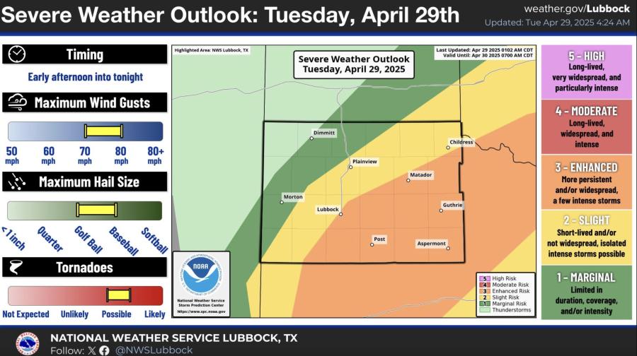
Severe Weather Outlook Today, April 29
For the rest of Tuesday afternoon, there is a 30% chance of thunderstorms, mainly after 4 p.m., with a high near 79°F and breezy east winds between 15 and 20 mph.
Showers and thunderstorms are likely tonight, especially between 10 p.m. and 4 a.m. Conditions will be mostly cloudy with a low around 53°F and northeast winds at 5 to 15 mph. Rainfall totals could range from a quarter to half an inch, with higher amounts possible under stronger storms.
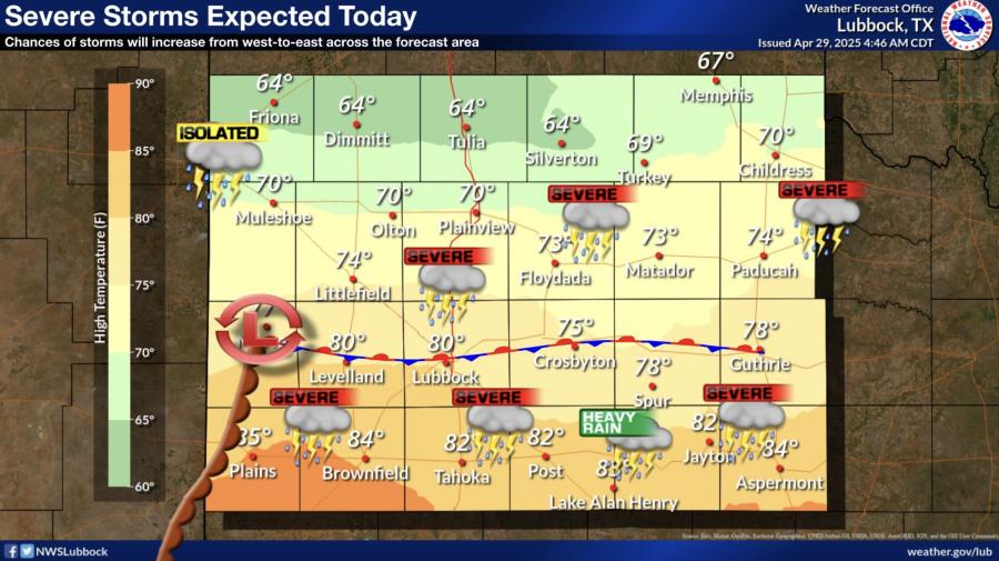
Severe Storms Expected Today
Subscribe to the LIVE! Daily
Required



Post a comment to this article here: