

Update 8:37 p.m.: The tornado warning for Lubbock County has expired as of 8:36 p.m., but a severe thunderstorm warning is still in effect.
Golf ball to softball-sized hail was reported across south Lubbock, while the rotating portion of the storm tracked across the central part of the city. The last confirmed sighting of a tornado was reported near Reese Center, just west of Lubbock, roughly an hour ago. Since then, no additional reports of a tornado on the ground have been reported.

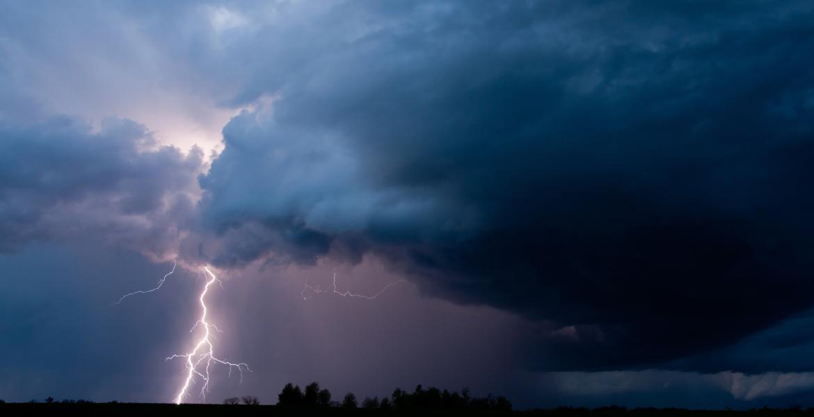
Two Funnels Forming in Tornado Warning Outside of Lubbock June 5
(Photo Credit: Jason Cooley)
Update 7:44 p.m.: The National Weather Service issued a tornado warning in effect until 8:45 p.m. Everyone in West/Northwest Lubbock needs to take shelter immediately.
LUBBOCK, TX — According to the National Weather Service, a tornado warning remains in effect until 7:45 p.m. CDT for central Lubbock County and northeastern Hockley County.
The City of Lubbock has confirmed that the Outdoor Warning System (OWS) has been activated, and residents are urged to seek shelter immediately.
As of 7:21 p.m., a confirmed tornado was located 4 miles northwest of Reese Center, about 13 miles west of Lubbock, and was moving east at 15 mph, heading northeast towards Shallowater. The storm is also producing ping pong ball-sized hail, reports say.
NWS warns the storm is capable of causing significant damage.
The tornado is expected to impact Lubbock and Reese Center around 7:25 p.m., and Shallowater around 7:45 p.m.
Other areas in the storm's path include Anton, Smyer, New Deal, and the Lubbock Science Spectrum.
Anyone in the warning area should take shelter in a basement or interior room on the lowest floor of a sturdy building. Avoid windows, and do not attempt to drive through severe weather.


Subscribe to the LIVE! Daily

Required
Post a comment to this article here: